# Navigate to Building Data
- Click the **Building Data** button, all the building data collected are displayed in a list.
- Once clicked, displays the Buildings Data list page.

* **Figure 5-1** **Building Data***
##### **Overview:**
- Building data collected by the user are stored on the local device memory. Once the user has internet access, the user can transfer the data to IMIS.
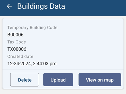
***Figure 5-2 Building Data List***
- Notice that the Building Identification Number (temporary) and Tax Code of the building are appended on the file name of the building data.
##### **Tools:**
[ ](http://192.168.1.68:8000/uploads/images/gallery/2024-01/tools.jpg)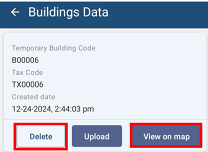
*** Figure 5-3 Building Data Tools***
- **Delete**: The user can also delete the recorded data by clicking on the \*\*'\*\****DELETE'*** button. A message box will appear, to confirm the delete.
- **View on Map**: The user can also view the outline of the building on the map. The building footprint is displayed on the map.
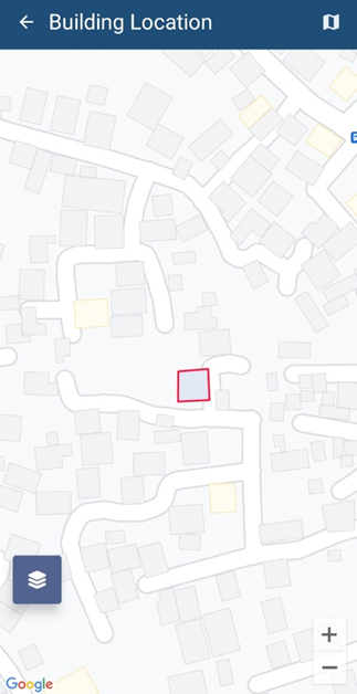
*** Figure 5-4 View Building on Map***