19.2 Waterborne Hotspot
The Waterborne Hotspot is responsible for maintaining data relevant to hotspot identification in a city. Its primary objective is to retain knowledge of diseases spread through contaminated water.
· Open the sidebar and click on Public Health ISS.
· Select the Waterborne Hotspot.
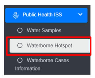
· This redirects to the Waterborne Hotspot page.
Overview:
The Waterborne Hotspot page lists all the attribute records stored in the module and provides different Filters, Actions and Tools that can be used according to the requirements. For more details (refer to section 5 Filters, section 6 Actions and section 8 Tools).
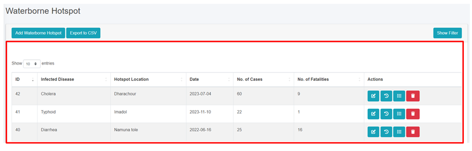
Figure 19- 3 Waterborne Hotspot Page
19.2.2 Add New Waterborne Hotspot
· Click on the Add Waterborne Hotspot button.
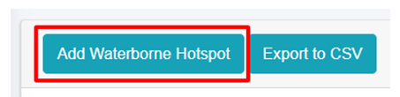
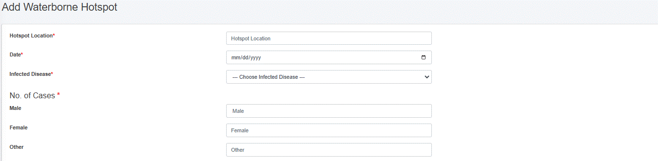
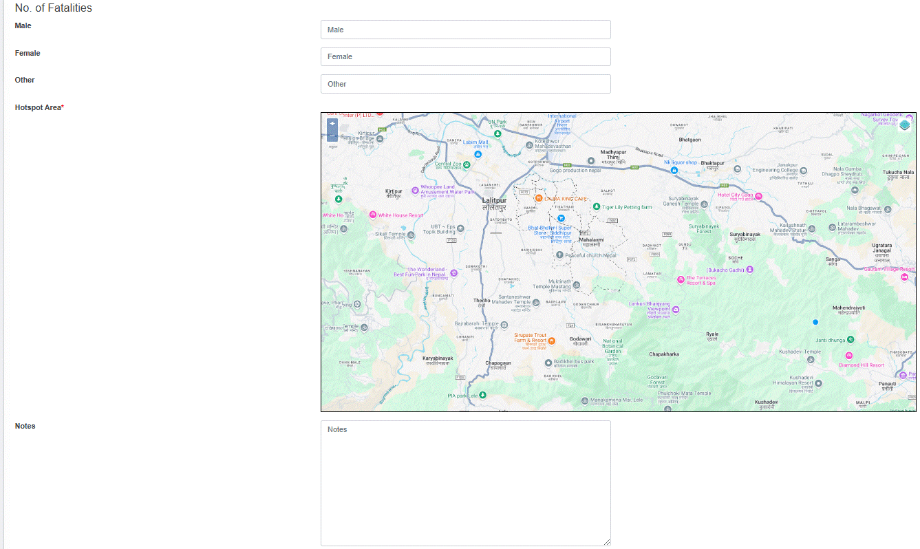
Figure 19- 4 Waterborne Hotspot form
· After filling out the form, click Save and make sure a pop-up message is displayed, refer to section 7.1 Save for more details.
- If a mandatory form field is left out or any form failed validation during the form submission a validation message box will be prompted, refer to section 7.2 Validation Message Box for more details.
Overview
The Add Waterborne Hotspot page consists of different form fields that capture different information which are explained below:
· Hotspot Location: Hotspot location name.
· Date: The date when hotspot locations were identified.
· Infected Disease: Select the name of the disease.
· No of Cases: Number of cases (Male, Female, Other) reported.
· No of Fatalities: Number of fatalities (Male, Female, Other) reported. There is a validation that the number of fatalities must be less than the number of cases.
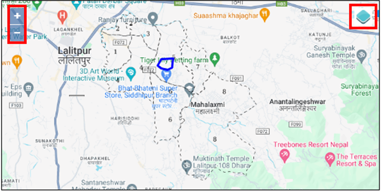
· Hotspot Area: Choose the location where the hotspots of waterborne diseases are detected, and draw the corresponding area on the map.
o The top left corner displays the zoom-in and out button
o The top right corner tab displays the Layers and Base maps
· Notes: Additional notes on information.
- Users can save the form by clicking the save.