Output Illustrations
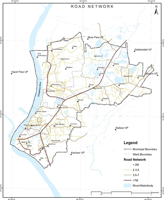
Figure 4 Illustrations of road network extracted from open source, Tarabo (Bangladesh):
Source – CWIS spatial analysis, Innpact Solutions and GWSC
Figure 4 Illustrations of road network extracted from open source, Tarabo (Bangladesh):
Source – CWIS spatial analysis, Innpact Solutions and GWSC
No Comments